Drive down Placentia Avenue toward 19th Street on a weekday afternoon and you'll pass a five-story apartment building rising behind a chain-link fence, its parking structure already topped out, workers framing the second of five residential floors above it. That's 125 Baker Street, a project that Save Costa Mesa says was built to 57.7 dwelling units per acre.
Both areas are Costa Mesa. Both show up in the same citywide median price headline. But a buyer comparing a $1.5 million listing near that corridor to a $1.5 million listing in Mesa Verde is not comparing two versions of the same thing. One sits inside a zoning overlay that the city is actively expanding. The other sits outside it, at least for now. The difference doesn't show up in square footage, lot size, or finish level. It shows up in a zoning map most buyers never think to ask for.
What Measure K Actually Rezoned
In 2022, Costa Mesa voters approved Measure K, an ordinance built to revitalize specific commercial and industrial corridors by allowing housing and mixed-use development where only offices, retail, or light industrial uses existed before. The measure named its targets directly: Newport Boulevard and Old Newport Boulevard from Mesa Drive to the city limit, West 17th Street, West 18th Street, 19th Street from Harbor Boulevard, and the broad swath of the city north of the 405 freeway, which includes the South Coast Plaza metro area.
Four years later, the city is converting that ballot language into an actual zoning tool. The "Neighborhoods Where We All Belong" initiative applies a Mixed Use Overlay District, or MUOD, to designated sites within those corridors. As Citizen Portal reported, under the draft standards the Planning Commission has been reviewing through 2026, the overlay requires at least 50 percent residential use at a minimum density of 20 units per acre, with streamlined review for projects that meet the threshold. Baker Street is what that produces when a property owner uses it. The corridors named on the 2022 ballot are where the city expects more of it.
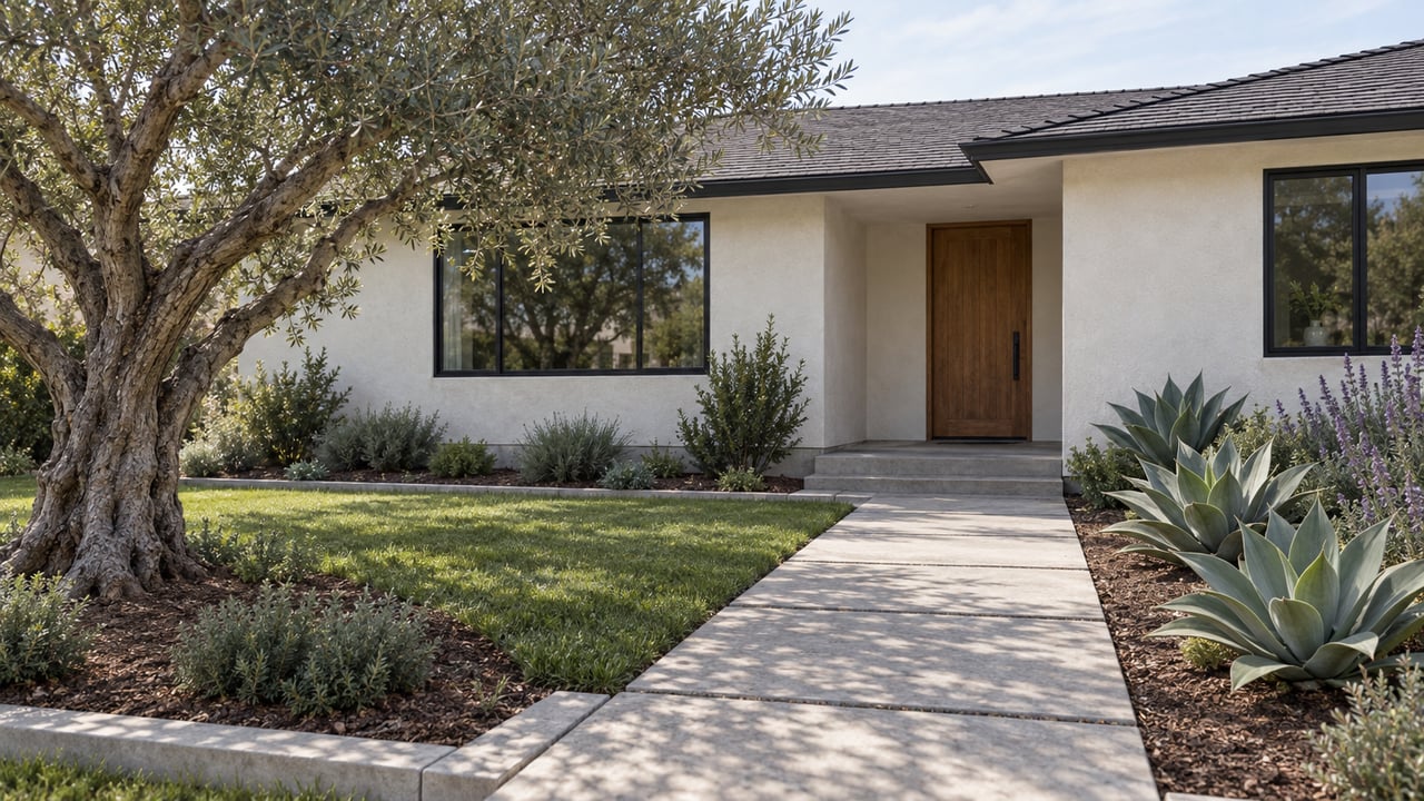
Mesa Verde and the bulk of Eastside Costa Mesa were never on that list. They're zoned single-family residential, sit outside the corridors Measure K identified, and have not been proposed for the MUOD. That doesn't make them permanently untouchable under state housing law, but it does mean the active rezoning pressure in Costa Mesa right now is corridor-specific, not citywide.
What the Price Gap Actually Shows
Look at the neighborhood-level data and the split gets easier to see. Over the three months ending in May 2026, Eastside Costa Mesa's median sale price ran $2.1 million, with price per square foot at $1,210, up close to 15 percent year over year. Downtown Costa Mesa, sitting closer to the Newport Boulevard corridor named in Measure K, posted a median of $1.7 million over the three months ending in March 2026, up 23 percent year over year. Central Costa Mesa, which includes stretches nearer the overlay zones, came in lower still at $1.5 million over the three months ending in August 2026, with price per square foot down sharply, off 37 percent from the prior year.
|Neighborhood|Median sale price|Price per sq ft|YoY change| |---|---|---|---| |Eastside Costa Mesa|$2.1M (3 mo. ending May 2026)|$1,210|+14.9%| |Downtown Costa Mesa|$1.7M (3 mo. ending Mar 2026)|Not separately reported|Price up 23.1%| |Central Costa Mesa|$1.5M (3 mo. ending Aug 2026)|$609|-37.1%| |Citywide (all Costa Mesa)|$1.4M (3 mo. ending May 2026)|$870|+11.5%|
The citywide median sits between the neighborhood extremes, which is exactly the problem with treating it as a single number. Eastside's premium isn't just older bungalows getting renovated and flipped, though plenty of that happens there too. It's also that Eastside offers something increasingly scarce inside city limits: a large stretch of parcels the city has not identified as candidates for future density. Buyers paying that premium are, whether they frame it this way or not, also paying for zoning certainty.
Central Costa Mesa's price-per-square-foot drop tells a different part of the story. A wide swing like that over one year usually means the mix of what sold changed, not that comparable homes suddenly got cheaper. Some of that shift is plausibly explained by more transaction activity closer to the overlay corridors, where land value calculations are less about the existing house and more about what a future owner could build under MUOD standards. That's not automatically bad news for a seller. It just means the number reflects something other than "market cooled here."
The Court Ruling That Slowed the Map Down
The rezoning map itself hasn't been stable, and the reason is instructive. In October 2025, a California appellate court ruled in New Commune DTLA LLC v. City of Redondo Beach that a residential overlay alone, layered on top of unchanged base zoning, doesn't necessarily satisfy a city's state-mandated housing obligations. Costa Mesa's MUOD approach relies on exactly that kind of overlay structure, and the ruling gave property owners a new argument for getting off the list.
As Citizen Portal reported, the owners of South Coast Plaza used it. Attorneys for Segerstrom Companies and a representative for C.J. Segerstrom & Sons formally asked the Planning Commission to remove Segerstrom properties from the Housing Element inventory, citing the Redondo Beach decision's effect on how overlays are treated. The Planning Commission responded in February 2026 by voting 6 to 1 to recommend the City Council adopt the rezoning package with a carved-out exception for Segerstrom's properties.
On March 17, 2026, the City Council acted on a related but separate request: it approved removing 17 sites from the Housing Element inventory while adding 2, a net loss of 15 sites and roughly 5,431 potential housing units from the city's official count. City staff were careful to note that removed sites, including one at 2000 Harbor Boulevard already in pre-application talks with a developer, don't disappear from consideration entirely. They stay on the broader Measure K map for future review, even after coming off the near-term Housing Element list.
None of this changes the underlying pressure. According to the City of Costa Mesa, Costa Mesa still has to accommodate the state's Regional Housing Needs Allocation of 11,760 units for this planning cycle, running through 2029. But it shows the corridor map is actively contested and legally fluid in 2026, with even institutional owners fighting over which parcels land where. A buyer evaluating a property near Harbor Boulevard, the Westside, or the 19th Street corridor is buying into a zoning question that hasn't finished being litigated.
What This Means If You're Comparing Two Listings
The practical takeaway isn't that overlay-adjacent property is a bad investment. Higher allowable density is exactly what makes underused commercial and industrial parcels valuable to the right buyer, and it's part of why the Westside has drawn interest from creative and live-work buyers who like proximity to South Coast Plaza's Segerstrom Center for the Arts and the job base north of the 405. The 17 West Master Plan, a live-work community built on a remediated nine-acre former industrial site, is the kind of project that overlay zoning was designed to produce, and it's already integrated into the neighborhood.
The practical takeaway is that "similar price, similar square footage" isn't the same as "similar exposure to change." Two questions are worth asking before you anchor on a price-per-square-foot number:
Is this parcel identified on the city's Housing Element Opportunity Sites and Measure K map, published through the Neighborhoods Where We All Belong project? The city has taken public comment on draft rezoning documents as recently as June 2026, and the map has shifted more than once this year.
If it is, does the MUOD apply to the parcel itself, an adjacent commercial property, or neither? A single-family home inside a residential tract abutting a Measure K corridor faces a different long-term picture than one three streets over on land the overlay never touched.
A Few Questions Worth Asking Directly
Does an overlay designation mean my house could be forced to redevelop? No. The MUOD and Measure K target commercial and industrial parcels along named corridors. Existing single-family homes in tracts like Mesa Verde and Eastside Costa Mesa were not part of the rezoning inventory as of the March 2026 council action.
Is this unique to Costa Mesa? The state mandate, RHNA, applies statewide. Costa Mesa's specific approach, using a voter-approved corridor list and an overlay district rather than upzoning entire residential neighborhoods, is a local implementation choice, and it's why the pressure concentrates on named streets rather than spreading evenly across the city.
When will the map stop changing? Not soon. The current Housing Element cycle runs through 2029, an environmental review of the broader Measure K sites is still underway, and City Council hearings on the fuller rezoning package were still active as of September 2026.
Where can I check a specific address? The city's Neighborhoods Where We All Belong project maintains the current opportunity sites and Measure K parcel map at costamesaneighborhoods.com, alongside the Fairview Developmental Center Specific Plan process, which covers a separate 114-acre state property along Harbor Boulevard slated for an estimated 2,300 housing units.
Buying in Costa Mesa in 2026 means buying into a city that is actively deciding, block by block, what its next decade looks like. That decision is worth understanding before you compare two numbers that look the same on paper.
If you're weighing two Costa Mesa listings and want to know exactly where each one sits on the city's current rezoning map, Mint Real Estate can walk through the parcel history with you before you write an offer.
This article is general information, not legal, tax or financial advice. Consult a qualified professional about your situation.